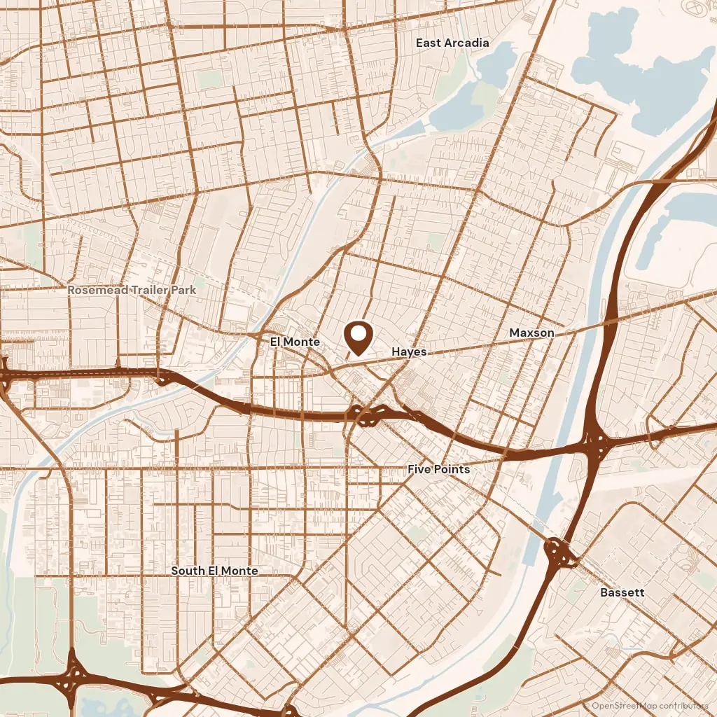
We reach Pico Rivera down Rosemead Boulevard, across the Whittier Narrows and past the dam the Army Corps finished in 1957, a year before the city incorporated. It is 7 miles from our end of El Monte, and a crew with a mixer booked behind it is on Whittier Boulevard in about 20 minutes. Permits come from the Building and Safety Division at Pico Rivera City Hall on Passons Boulevard, and an apron or a walk panel that crosses the public sidewalk needs Public Works to sign as well.
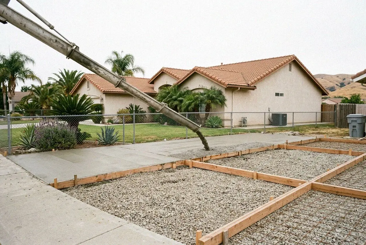
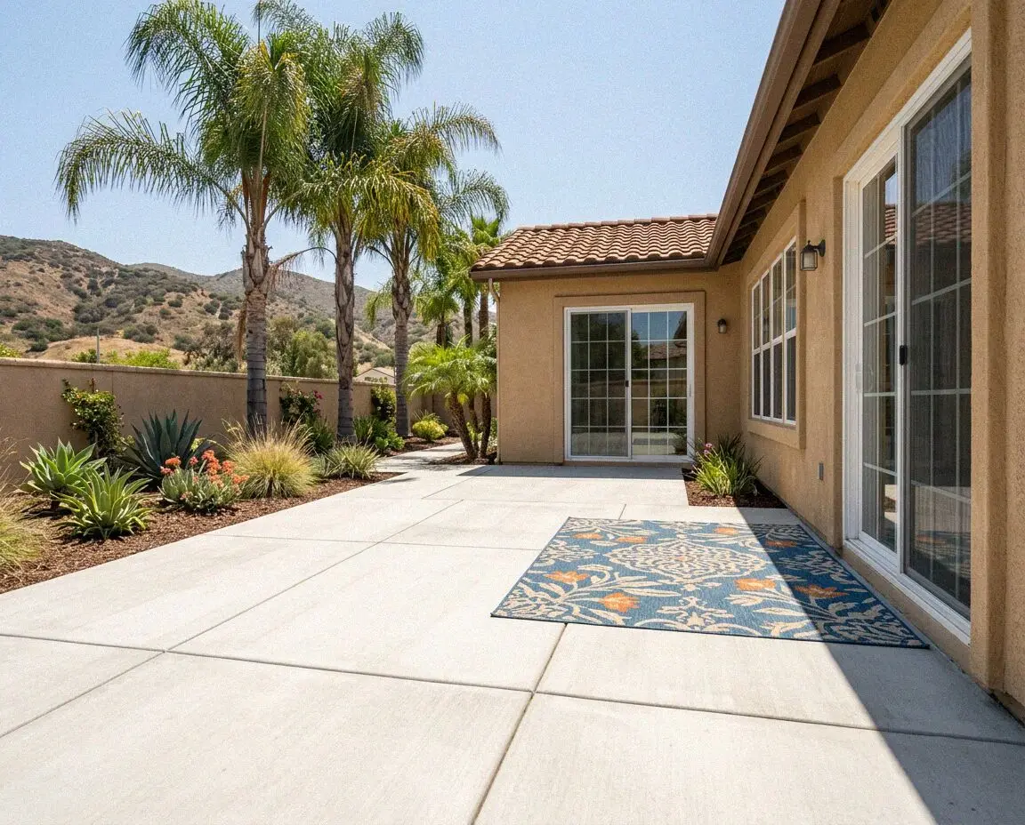
The old Rivera side, east of Paramount Boulevard toward the San Gabriel River, has the older houses, and the Pico side to the west along Whittier Boulevard filled in during the same postwar decade. Lots on both are wide enough for a mixer to reach the back yard along one side of the house, which is rare in this valley and takes a day off a patio. Two thirds of the houses here are owned by the people living in them, so most of what we pour is meant to be kept for decades.
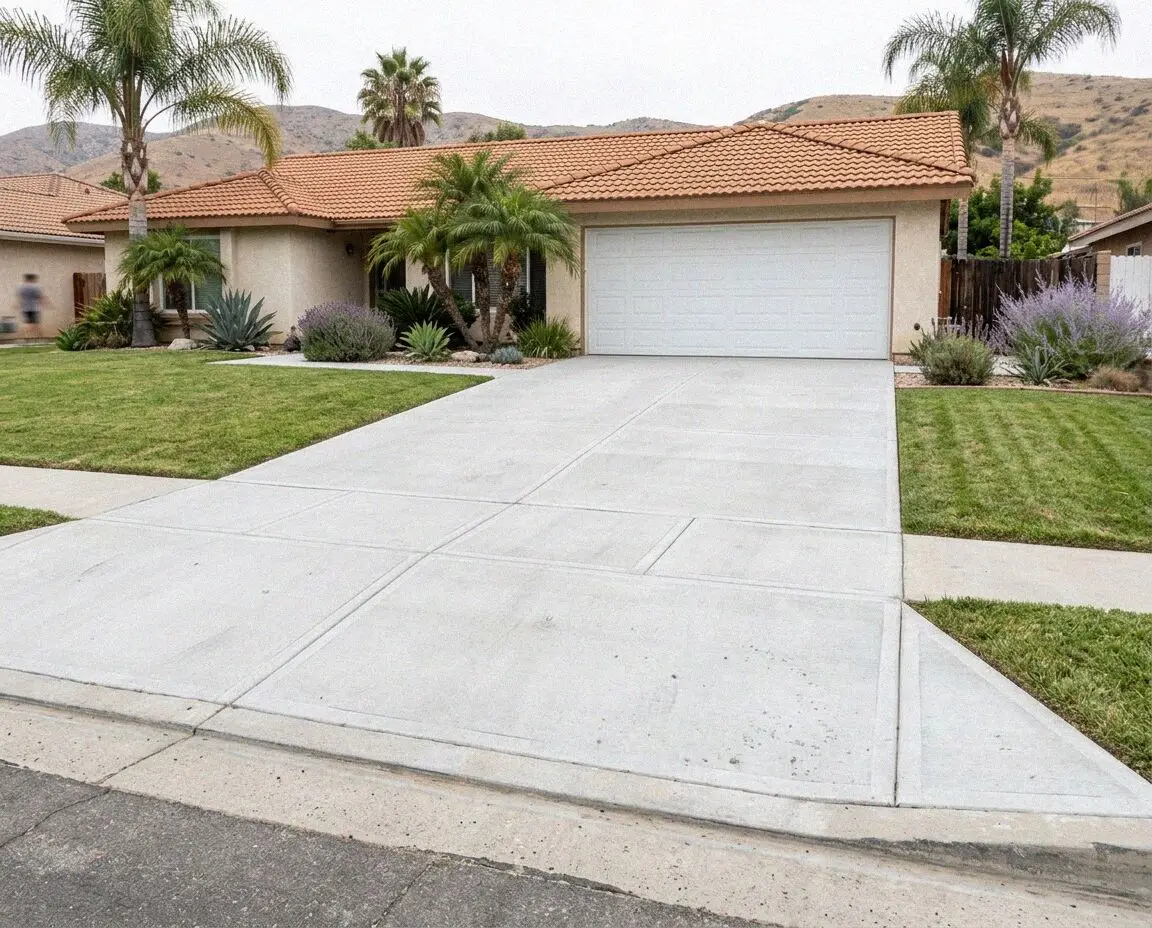
The I-605 runs along the east edge of the city, and the boulevards that feed it, Beverly, Washington and Telegraph Road, carry truck traffic a residential street does not, so a drive that meets one of them gets 6 inches at the apron rather than 4. The calendar follows the rivers. The channels are dry from May to October and running from December, and we book garage and interior slabs for the dry half, because a barrier keeps water out of a floor but not out of a trench.