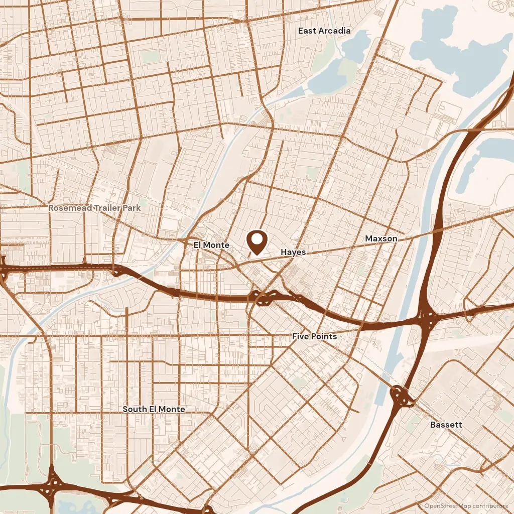
The water off Monrovia Canyon runs down Sawpit Wash, through the middle of the city and south past Arcadia to the Peck Road basin, where it joins the flows that become the Rio Hondo. Our business is named for that river, and our yard sits just below where it begins, so the route between the two towns is the route the water takes. Peck Road runs straight north from El Monte to the south end of Monrovia, and the 605 meets the 210 two exits east of Myrtle Avenue.
Permits go to the Building Division of the City of Monrovia's Community Development Department, at City Hall on South Ivy Avenue. On the flat that is a counter visit for anything beyond flatwork in your own yard. On the hillside north of Foothill Boulevard the city reviews grading and walls under its hillside rules, and a wall there takes drawings and a longer wait, so we file it the week we measure. South Monrovia Island is unincorporated, and its permits come from Los Angeles County.
The housing runs by decade from north to south. The blocks around Old Town on Myrtle Avenue hold Victorians and Craftsman bungalows from the 1890s to the 1920s, many with their first concrete walk still in place. Between Huntington Drive and Duarte Road the ranch tracts of the 1950s take over, and the streets around the Monrovia station at Myrtle and Duarte, open since 2016, are the newest ground in the city. A walk from 1910 and a slab from 1955 come out differently.